Educational trail of Karol Brančík
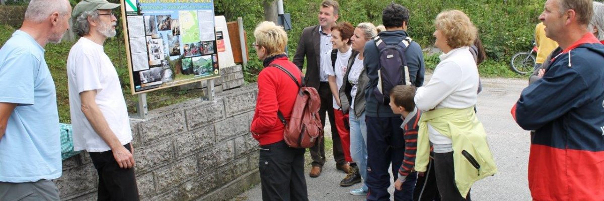
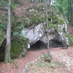
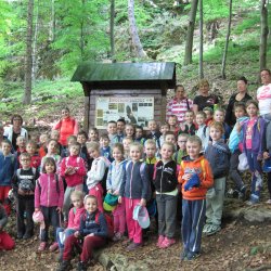
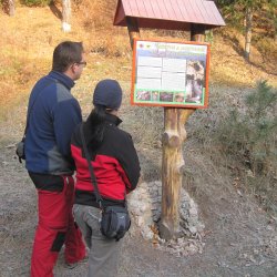
The trail named after Dr. Brančík, who was the first to create a map of Pružinská Dúpna cave, will lead you from Predhorie – part of Pružina village up around the bell tower, then on the way to a cave station JK Strážovské hills with informational board informing about caves near Pružina and about the work of cavers in these caves. Further it continues through Rečica (Riečica) valley, it passes close to waterworks before which there is a turn to Skalná valley. Water from a nearby karst spring near the road is now a reservoir for the municipal water supply. However, in the distant past it formed a continuous underground cave system about which we nowadays know only a small part. The educational trail continues along the road through the valley, then it suddenly turns right through meadow to forest and it begins to ascend steeply to the hillside of Čierny vrch to Dúpna cave. After few minute walk, we will get to the entrance to the cave where the last panel placed near the entrance provides us with more information.
Where to find us
49°0'10.5"N, 18°29'3.3"E - Začiatok NCH - Pizzéria pod orechom
49°0'3.2"N, 18°29'23.8"E - Jaskyniarska základňa
49°0'2.1"N, 18°29'59.3"E - Riečica
48°59'59.1"N, 18°30'8.7"E - Pružinská Dúpna jaskyňa
